 Tourists in the Kulu Valley have many interesting and scenic routes to choose from, starting not only in Manali, but also in Jagatsu-khu, Nagar or the Parbatti Manikarana located in the valley.
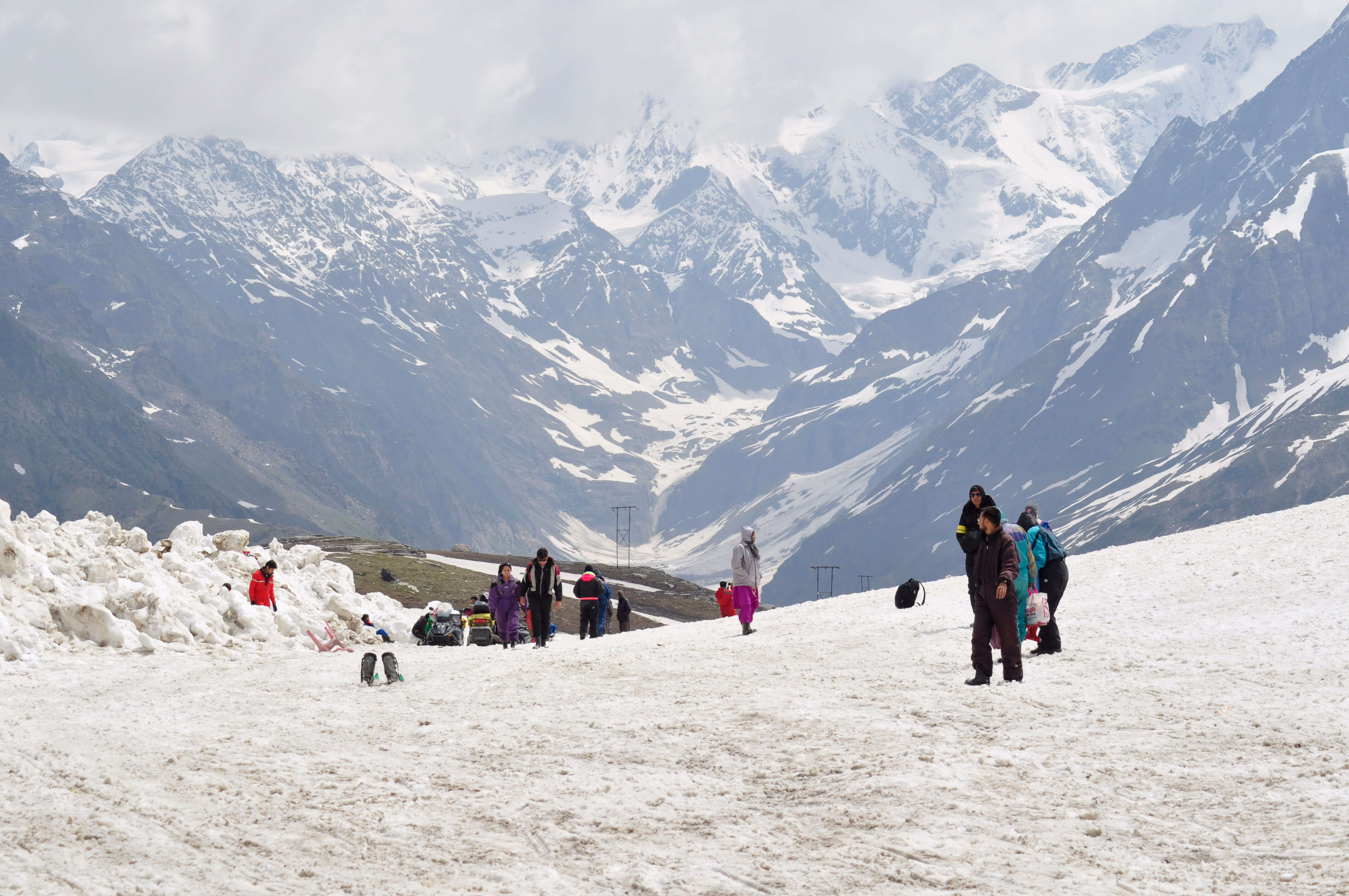
There are several travel agencies in Manali, where you can rent the necessary equipment. It is better to bring sleeping bags and tents with you, because those from the rental company are already very worn out, or they are only made available to participants of organized expeditions. It costs a day to hire porters 150 INR (twice as much to return).
Malana Valley
Malana is located on the road from Kulu to Manali, in the distance almost 30 km from Katrajn. To get here, you have to drive through the counting almost 3600 m Chanderkani Pass; the pass road is open from March to December. The second route is from the side of the Parbatti valley – access from Jari or Manikaran (on the way, we will see the 3150-meter Raśol pass). From the Kulu Valley to Jari (Finger), just located 12 km from Ma-lana, only accessible by jeep.
Malana is only inhabited 500 people. They all speak a specific dialect enriched with elements of the Tibetan language. This village, completely isolated from the world, has developed its own governing system, mainly based on the caste system. An example of the incredible severity of power is fact, that visitors are not allowed to touch the residents under any circumstances, or anything, what is their property. This imperative must not be taken lightly. You can come to Malana, having obtained the consent of the residents; one has to wait for the invitation at the edge of the village.
Malana lies in the shadow of the Deo Tibba peak, counting 6000 m. From the nearby Chan-derkani Pass, you can see the snow-capped mountains east of Spiti. The route from Nagar to the pass and back can be covered in one day, however, it requires a good shape and a lot of experience in hiking in the mountains.
Local legend has it, that Jamlu, the most revered god of Malani, when he first visited the village, brought a casket, where the other gods of the Kulu Valley were hidden. Standing at the top of the mountain pass, Jamlu opened the box and a blast of wind carried the gods across the valley.
During the celebration of Dasahra Jamlu, he plays an important role. Is said to be, that he is half god, half demon. Unlike the other deities, it has neither its own temple, not even a litter, in which the gods are usually brought to Kulu. Dzamlu, as the only, he does not obey Raghunathji's orders, rulers of the Kulu gods. Also, he does not come to Kulu for the festival of Dasahra, and only remains on the eastern bank of the river, from where he observes the course of the ceremony.
Every few years in the month of Bhadon, a festival is organized in honor of Jamyla. In the temple in Malana, there is a silver elephant with a golden figurine on its back. The sculpture is said to be a gift from Emperor Akbar.
Hampta Pass and Chandratal
One of the most popular routes in Himaćal Pradeśu is the route that leads through the Hampta Pass to Lahaulu. From here you can go further to Chandratal and La Bralach, then descend to Manali or extend the trek as far as Lehu and the Indus Valley.
The trail starts in the small town of Prini, away at 4 km from Manali. Initially, the route goes uphill to the village of Sythen (3-4 time.). The second stage ends in Chikha (3-4 time.), and the third in Bera-ka-kera (3-4 time.). Hampta Pass (4270 m) one is overcome on the way to Shiliguri (7 time.). From Hampta you can climb Deo Tibba (6001 m) or Indrahsana (6221 m). The descent to the Chandra valley and the settlement of Chatru takes approx 7 hours.
From Chater you can take a bus back to Manali or continue up the valley to Chandratal and Baralach La.
The first two sections of the trail from Chatru to Batal lead along the road connecting Manala and Spiti (stop at Ćota Dara). Behind Batal, the route turns off the road, creating the last one, and the longest, approach to Lake Chandratal. While climbing, we will see the Mulkila range emerging from the distance. The distance between the lake and Baralacha La is covered in two or three stages. The trail crosses numerous mountain streams; be especially careful when walking. On the way you can: count on the help of the Gaddie shepherds.
Convoys of trucks depart from Baralacz La on a regular basis, stopping overnight in Sarću or Pang and arriving in Lehu the very next day. For more and detailed information, see Trekking in the Indian Himalaya (Expeditions in the Himalayas).
The foot of Deo Tibba
A picturesque trail to the foot of Deo Tibba (6001 m) can be overcome in five approaches. The route starts in Jagatsuś and continues through a few villages to the pastures in Khanol (2-3 time.). You have to go uphill all the time (the road is very steep). After approx. 4-5 after hours one reaches the shepherds' camp in Ći-ka (Chika). In July and August, a section connecting Ćika with the Seraj station located high in the mountains (4-5 time.) it is covered with colorful flowers. The route from Seraglio (Will be) the moraines at the foot of Deo Tibba can be crossed in one day (the return continues 7 hours). If we plan everything well, and the last stage, leading back to Jagatsuh, we will stay in the scheduled time, we can get back to Manali by bus.
From Nagru to Malany and doliny Pin Parbatti
Tourists wishing to go from Nagar to the Canderkani Pass (3650 m) a long and tiring climb awaits, which is divided into two stages. The first one ends in the village of Rumsu (2-3 time.); it takes five to six hours to complete the second. The reward for the effort of climbing is a wonderful view of the Kulu Valley and the peaks surrounding the Bara Singri Glacier. Particular care should be taken when descending very steeply (6 time.) to Malany. It is best to camp on the outskirts of the village and set off to the Pin Parbatti Valley the next day (4-5 time.) and further in the direction of Jari. Buses from here take tourists back to the Kulu Valley and Manali.
Parbatti Valley
The Parbatti Valley is a great starting point for hiking trips in the mountains. Most tourists choose the route that leads through the Pin Parbatti Pass to Spiti. The route from Manikaran to the hot springs in Khir Ganga is much shorter.
A well-marked road leads from Manikaran to the village of Pulga (4-5 time.) and further into the Parbatti Valley, do Khir Gangi, where there are hot springs. Best to stay here for the night, and set off the next day on the way back to Manikaran.
People planning trips to the more remote parts of the valley should definitely bring a tent and a sleeping bag. From Khir Gangi, the trail continues to the natural Pandu rock bridge over the Parbatti River. To reach the Pin Parbatti Pass, a long route through mountain pastures still has to be traveled, around Lake Mantakal and a vast moraine. The areas behind the pass are already covered with snow, from the pass itself you can see the main range of the Himalayas and the bare peaks of Zanskar rising from the north. Buses to the ticket office, main town of Spiti, depart from the village of Sangam. There are two approaches to get here from the pass. For more detailed information, see the Trekking in the Indian Himalaya guide (Expeditions in the Himalayas).